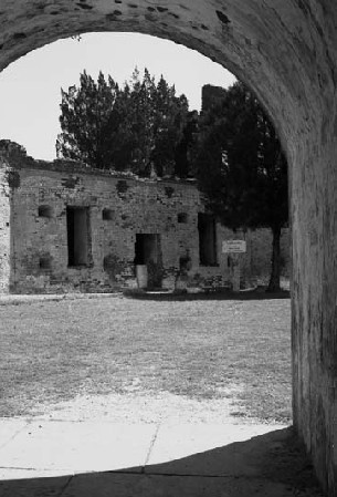
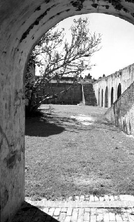
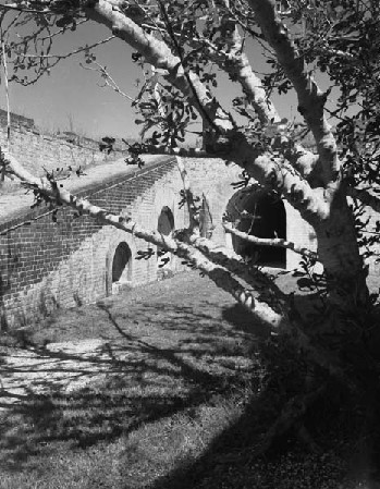
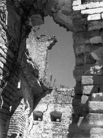
| These 4 black & white photos were taken at the time of some restoration work done by the WPA in 1937. |
| Fort Pike: Guarding the Pass |
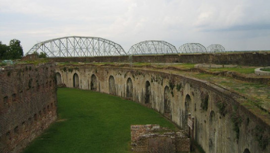
| Fort Pike was constructed in 1818 to guard the Rigolets Pass (pronounced "rigolees") from reinvasion by the British. The Pass connects Lake Pontchartrain and Lake Catherine to Lake Borgne and the Gulf of Mexico. The Fort is now within the city limits of New Orleans and the Rigolets Pass forms one of the boundaries between Orleans and St. Tammany Parishes. Fort Pike was abandoned in 1890 and for many years had been a noteworthy tourist attraction. The Fort is under the auspices of the National Park Service and had been in need of restoration for quite a long time when Hurricanes Katrina and Rita did serious damage to its structural integrity. It's no longer open to the public and its fate is in serious peril. -- Nancy |
| 4th photo from top, courtesy of Neon9nine at Wikimedia Commons; bottom photo courtesy of Lsuff at Wikimedia Commons. |
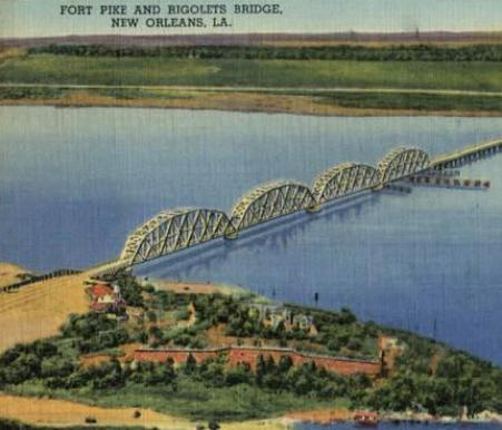
| The Fort is shown at the bottom of this image and, above it, the bridge over the Rigolets Pass; probably between 1930-1940. |
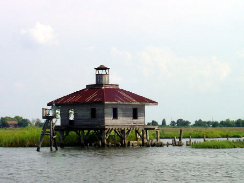
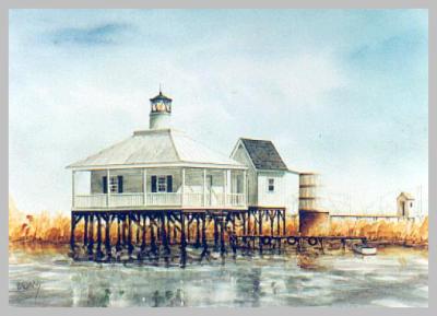
| Above, an illustration of how the Rigolets Pass Lighthouse looked in happier days; below, the lighthouse not long before it was destroyed by Hurricane Katrina in 2005. |
| The link to this page is: http://old-new-orleans.com/NO_Fort_Pike.html Back to Old New Orleans Whispers - Home |
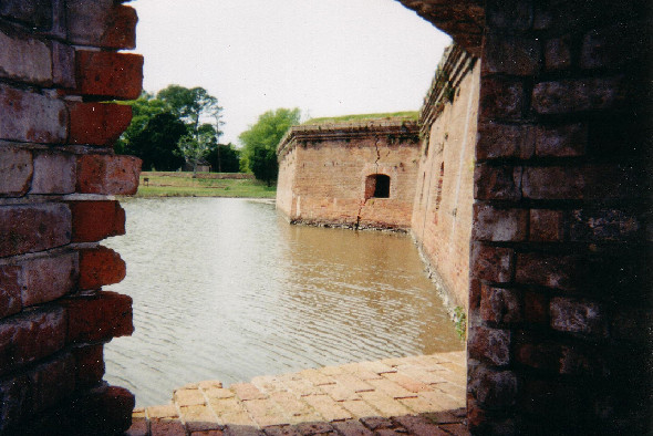
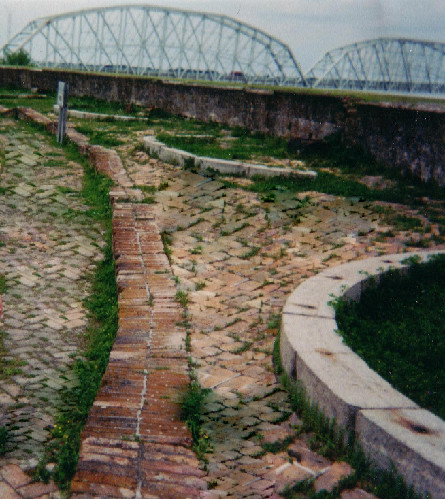
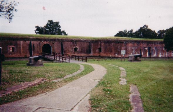
| Photo above & 2 below are from 2004. |